
Gov't
Flood Inundation Mapping Begins
By |
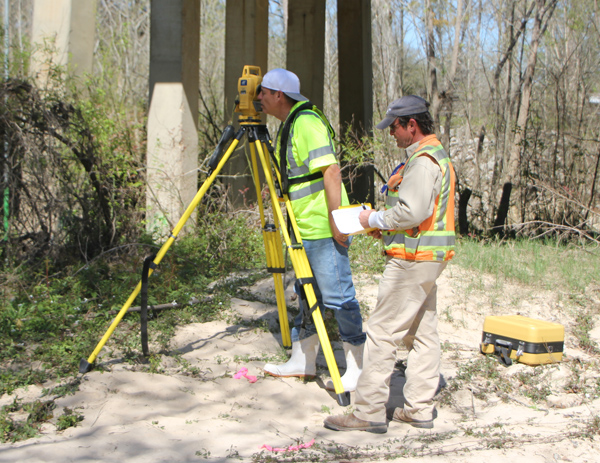 Pictured: U.S.G.S. surveyors Paul Ensminger and Ferrell Killion working at the Comite River Bridge on Comite Drive.
U.S. Geological Survey crews began work in Central this month, beginning with a survey of eleven bridges over the Comite and Amite Rivers. By October of next year, the inundation mapping project should provide Central with the ability to predict flood water depths at any point in the city a day or more before the predicted crests of the Amite and Comite Rivers. Central business owner Dave Freneaux brought together the U.S.G.S. and the City of Central so that Central citizens can receive early warning and be better prepared in the event of any future flooding.

0 comments